Gepatsch reservoir: hiking & more at the dam in the Kaunertal
In the rear Kaunertal valley, you can marvel at a very special structure on the way to the glacier: the Gepatsch reservoir and dam. Nestled in an impressive mountain landscape, the lake is a much-visited excursion destination. Whether as a stopover along the Kaunertal Glacier Road, for a hiking tour or out of interest in the Tyrolean power stations: a visit to the Gepatsch reservoir is an experience.
Discover the Gepatsch reservoir in the Kaunertal region
For more than 60 years, the reservoir in the Kaunertal has characterised the economy and the landscape: the imposing dam was built in the 1960s and was the tenth-highest dam in the world at the time, measuring a massive 600 m in length and 153 m in height.
The Gepatsch reservoir gets its name from the neighbouring glacier, the Gepatschferner. Its streams, such as the Faggenbach, feed the lake. There are also several other streams from the Kaunertal, Pitztal and Radurschltal valleys. The almost 140 million cubic metres of water collected from the lake feed the Kaunertal power station and produce electricity for the region and beyond.

The Gepatsch reservoir in numbers:
- Construction time: 1961 – 1964
- surface: 2,6 km2
- volume: 138 Mio. m3
- deep: 111 m
- sea level: 1.767 m
- Electricity production: ca. 661 GWh/Year
Enjoy nature and hiking at the Kaunertal reservoir
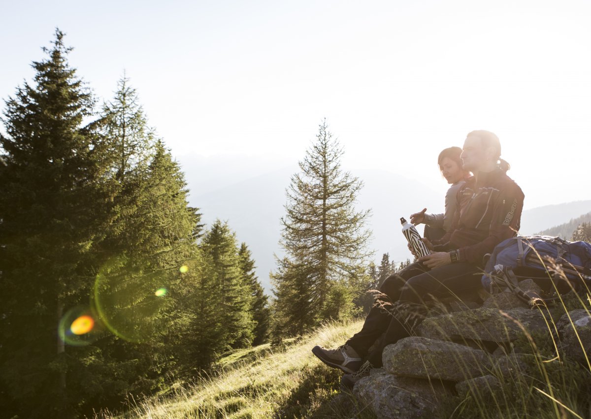
Hiking around the Gepatsch reservoir in the Kaunertal is a real treat for hiking enthusiasts and nature lovers. The region is known for its natural beauty, which can be explored on various routes: from leisurely strolls along the lake to challenging mountain tours.
Here are some sample routes, and you can find more in the interactive hiking map or in our hiking overview:

From the dam to the Nassereinalm (2,040 m)
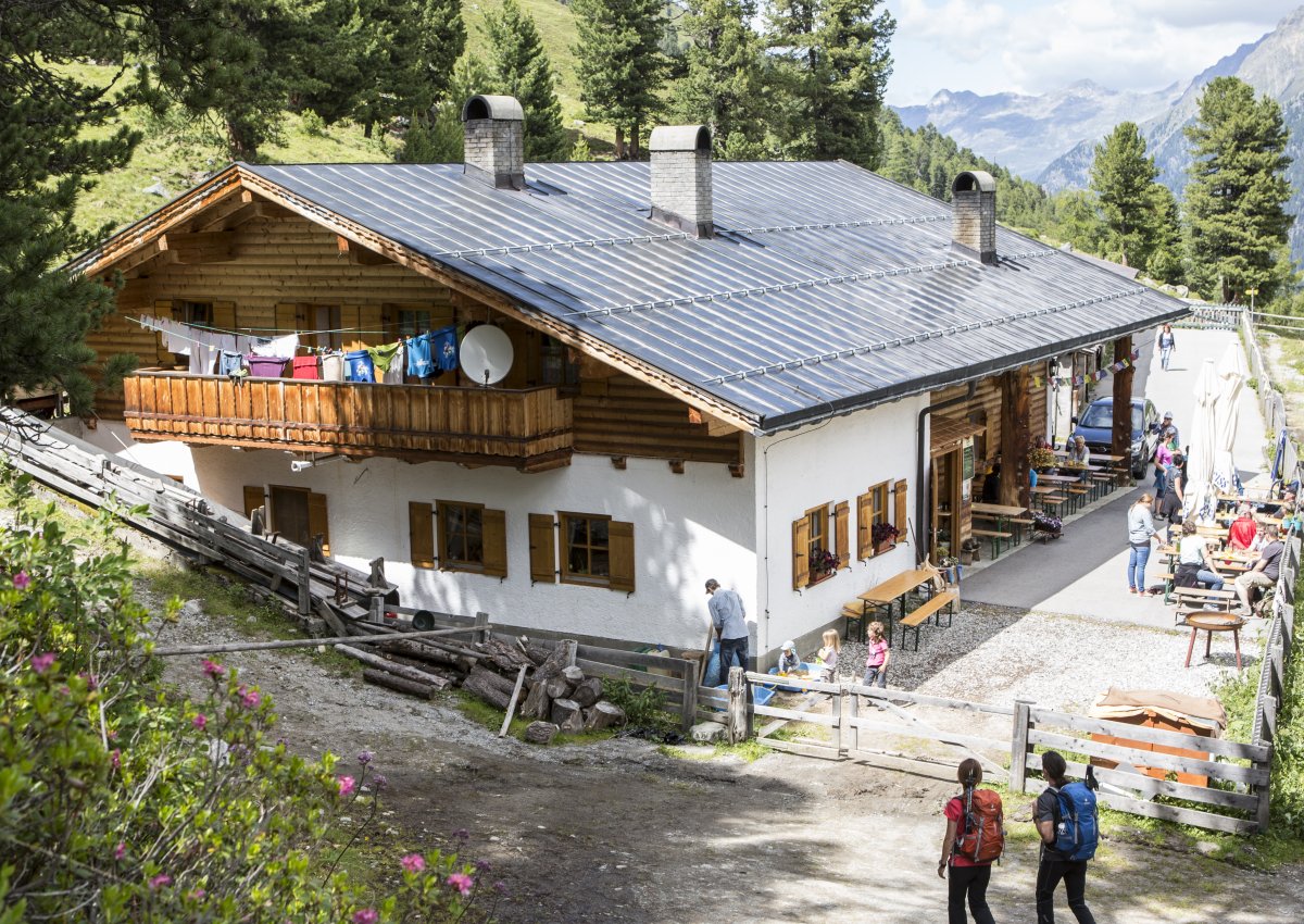
The Nassereinalm with its own alpine dairy is easy to reach from the glacier reservoir. The hike starts at the dam, runs along the reservoir for 2 km and then branches off onto the farm track to the alpine pasture. The ascent takes around 1.5 hours. Once you reach the top, you can sample the home-made alpine cheese.

Hike along the Zirbenweg (1,786m - 2,064m)
Discover the natural beauty of the Kaunertal on the Zirbenweg trail: follow trail no. 25 for around 2.5 km after the dam wall through the stone pine forest to the Jägerhütte hut. From there, continue over the Hapmesböden to the Wurmetal valley and on the high trail no. 26 to the former Bliggalpe.
From here, the descent begins back into the stone pine forest and finally to the Gepatschhaus hut on the glacier road. If you wish, you can take the bus back from the nearby bus stop. The tour takes approx. 6 hours.

Hike over the red rocks (1,890 m - 2,148 m)
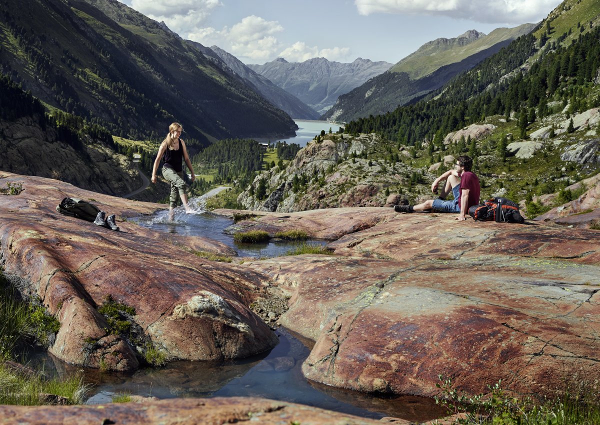
The easy hike over the red rocks also offers a great view over the reservoir. It starts a little way after the lake on the Kaunertal Glacier Road. In around 2.5 hours, you hike across alpine meadows past the eponymous red rocks down to the glacier gate, from where you continue to the Fernergarten. The return journey from there is also possible by bus.</p
Other activities around the dam in the Kaunertal
Apart from hiking and mountaineering, there are of course other activities to enjoy the wonderful natural landscape at the Gepatsch reservoir and its surroundings.

Pleasure ride along the Kaunertal scenic road
The Gepatsch reservoir is also wonderful to explore on two or four wheels. Many of the stops along the Kaunertal scenic road offer fantastic views over the reservoir and the dam wall – take a look at our downloadable map as PDF.
The journey along the High Alpine Road itself is just as impressive: The route from the toll station to the glacier leads from lush green meadows to the eternal ice.

Fishing in the reservoir and its feeders
The reservoir and the Faggenbach are also great for angling and fishing – but please note that you will need a valid fishing licence. Please check with the local businesses before enjoying your fishing adventure.

Café Seepanorama & Infopoint Gepatsch
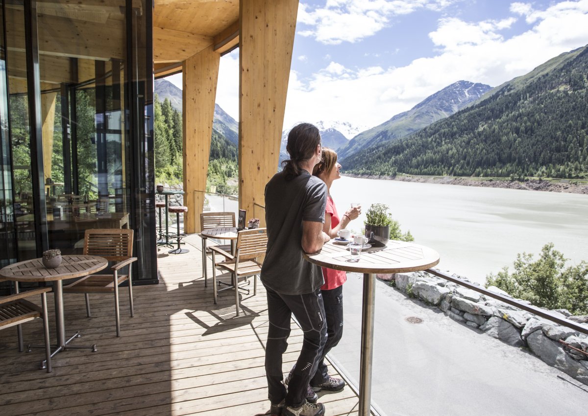
Directly at the dam in the Kaunertal is the Seepanorama café with a terrace offering a fantastic view of the lake. You will also find an exhibition on hydroelectric power generation in Tyrol at the Infopoint. By the way, those interested can take a Guided tour of the power station with TIWAG – this is located in Prutz.
As a tip for Wheelchair user: The Café Seepanorama is barrier-free, as is the entire glacier ski area.
Arrival and parking at the Gepatsch reservoir
You can get to the Gepatsch reservoir in the Kaunertal in Austria easily and conveniently via the Kaunertal scenic road (toll!). Café Seepanorama at the reservoir has several car parks where you can leave your car. Travelling by bus is also easy thanks to the bus stops right by the lake.
By the way: If you would like to catch a first glimpse from above (from the glacier) in advance, take a look at our webcams.

Zielbahnhof: Bahnhof Zams/Landeck.
So kommt man vom Bahnhof Zams/Landeck ins Kaunertal:
- mit dem öffentlichen Bus
- mit dem Taxi (Fahrt dauert ca. 25 Minuten)
- Shuttlesrvice vom Hotel – je nach Vereinbarung mit jeweiligem Unterkunftsgeber


 5°C
5°C 


